NMSU geographer attends conference to target high-risk flood areas
As floods continue to swamp a number of states on the East Coast, a New Mexico State University researcher has returned from an international conference with the latest technologies in flood-risk mapping.
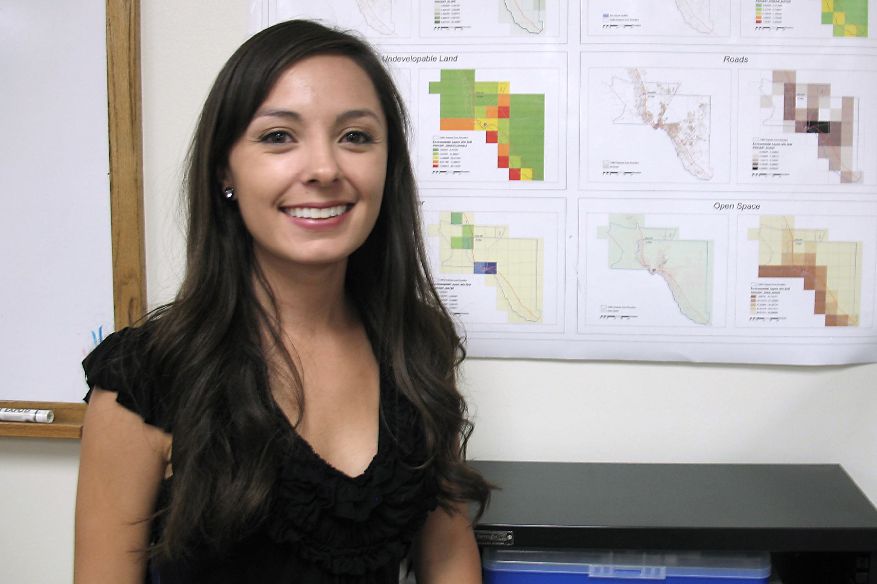
Roberta Lujan, a graduate assistant in the College of Arts and Sciences, recently attended the Esri International Users Conference in San Diego, Calif., to learn more on modeling potential flood areas.
A geographic information systems (GIS) technician in the university's Spatial Applications and Research Center (SpARC), Lujan was among 12,000 attendees from 130 countries around the world at the conference in July.
"With the software, we can model the areas more accurately and produce maps that can be used to alert the public, government officials and EMS where the high-risk areas would be," Lujan said.
The weeklong symposium included paper presentation sessions, technical workshops and demonstrations designed to showcase real applications in GIS. Lujan, who teaches lab sections on map use and analysis and beginning cartography, was also able to attend a presentation that focused on ArcHydro, the GIS software that links hydrologic data to water resource modeling.
"I learned a great deal, and being able to attend sessions on flood modeling, and hydrologic and hydraulic modeling gave me great insight," Lujan said. "Additionally, I was able to make great contacts and network with those in the GIS industry."
Lujan said one of the conference highlights included an appearance by recording artist Will.I.Am., who spoke about the "i.am.angel Foundation." The artist created the organization to help provide resources to needy students who want to attend college.
"He was joined by six high school students who used Esri technology in their classrooms for mapping projects throughout the school year, including on how they could transform their own neighborhoods," Lujan said.
Lujan's trip was made possible through the help of the NMSU Department of Geography and the SpARC Lab.
"It was great to see all the ways GIS is being used throughout the world," Lujan said. "I was especially touched by countless organizations that use it for humanitarian purposes. This really opened my mind to the unlimited possibilities of GIS, and how I could use my own skills and knowledge to benefit the greater good."